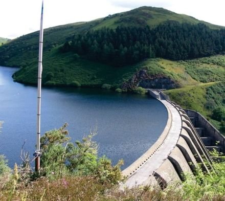
Watershed analysis studies the land areas that drain into a river, lake or reservoir. It assesses topography, land use, soil types and vegetation to understand how water flow, quality and quantity are affected.
Using GIS and hydrological modelling we identify drainage patterns, calculate runoff, simulate water movement and predict flood risk — supporting water conservation, land-use planning and healthy aquatic ecosystems.
- Drainage network & stream ordering
- Runoff estimation
- Watershed prioritisation
- Flood modelling & prediction maps
- Water shed management systems