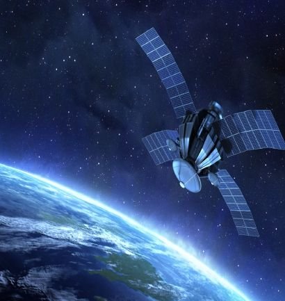
Remote sensing leverages satellite and aerial imagery to capture extensive geographic data. Improved satellite imagery and drone technology allow high-resolution data collection and analysis — essential for agriculture, forestry and environmental monitoring.
Our capabilities
- Ortho-rectification
- Satellite image processing
- Image analysis and classification
- Spatial modelling and analysis
- Feature capture and update
- Terrain creation, editing and analysis
Applications
- Project, industrial & factory site selection
- Crop monitoring, estimation & forecasting
- Pre- and post-disaster studies & damage assessment
- Surface water and drinking-water quality studies
- Renewable energy – wind & solar site analysis