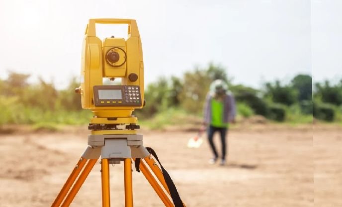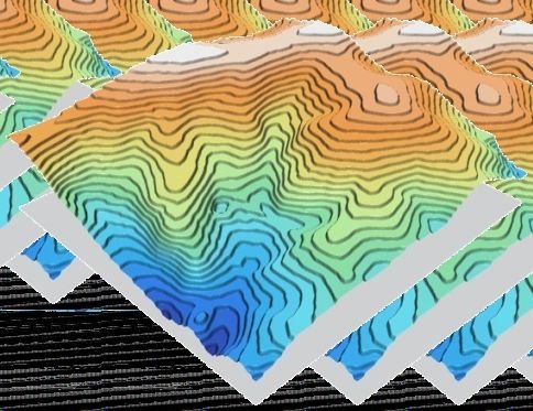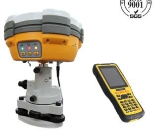
Differential GPS (DGPS) and RTK surveys deliver centimetre-level positional accuracy for ground control, boundary fixing and large-area mapping. We establish control networks and capture detail points rapidly, even across difficult terrain.
Applications
- Ground Control Points (GCP) for drone & satellite mapping
- Boundary & demarcation surveys
- Road, canal and pipeline alignment
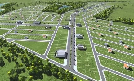
- Grid surveys for land development
- Geo-referencing of existing maps