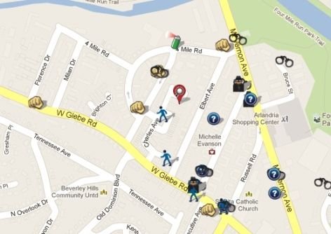
Crime analysis and mapping helps law-enforcement agencies enhance public safety by understanding crime patterns. Data from police reports and citizen complaints is analysed to identify trends by time, location and type of crime.
GIS visual maps highlight crime hotspots, enabling efficient resource allocation and proactive prevention strategies, and — when shared with the community — foster transparency and public involvement.
- Hotspot & density mapping
- Temporal trend analysis
- Beat & jurisdiction mapping
- Dashboards for decision makers