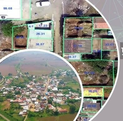
Swamitva Yojana, launched by the Government of India in April 2020, provides property rights to residents of rural areas. It uses drone surveying to map rural land accurately and generate comprehensive property records.
By formalising ownership, the scheme facilitates access to credit and financial services, reduces land disputes through clear titles, and digitises property records for easier access to government services. Flyview GIS has executed Svamitva Yojana mapping work as part of this initiative.
- Drone orthophoto processing
- Property parcel digitisation
- Village map (abadi) creation
- Data QA / QC and record integration