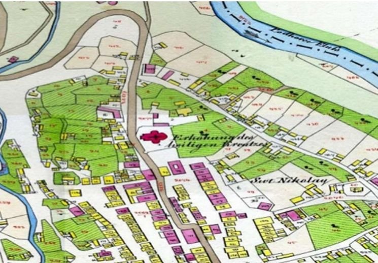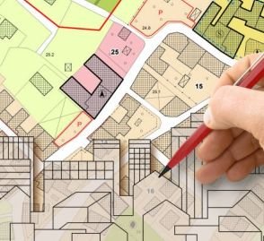
Cadastral mapping creates detailed maps that define land ownership and boundaries — essential tools for property management, land-use planning and legal documentation.
These maps include land parcels, ownership rights and land-use classifications, supported by surveys that provide precise measurements. They play a crucial role in real-estate transactions, tax assessment and dispute resolution, and are used by governments, surveyors and landowners alike.
What we deliver
- Digitisation of village / city survey maps
- Parcel and plot boundary mapping
- Integration of ownership (record-of-rights) data
- Geo-referenced cadastral GIS layers
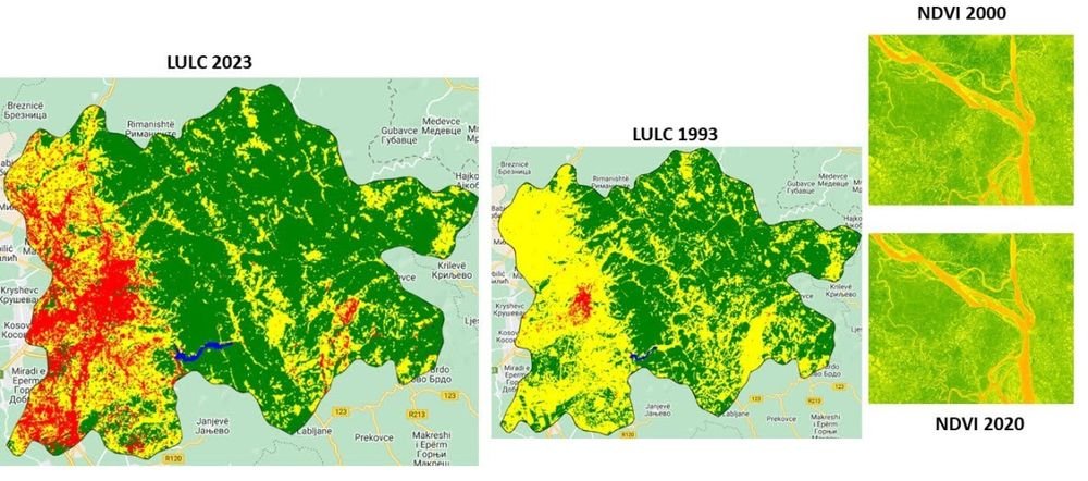
- Change detection and map updation