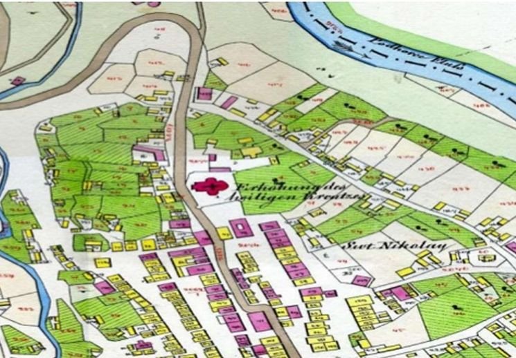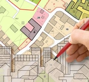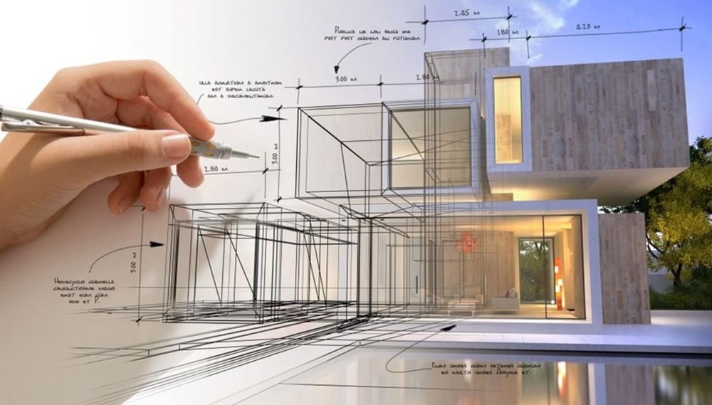
CAD mapping uses Computer-Aided Design software to create detailed, precise representations of physical structures and landscapes. It is widely used in architecture, engineering, urban planning and land surveying.
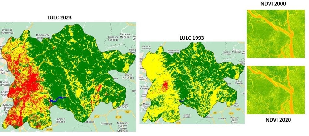
CAD enables 2D and 3D visualisation, accurate plans, sections and elevations, and easy modification — helping identify potential issues before construction begins. Integrated with GIS, it enhances spatial analysis and data management.
- Layout & site plans
- Survey drawings and topo sheets
- Plans, sections & elevations
- CAD to GIS conversion