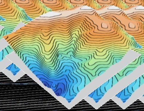
Contour mapping represents the elevation and topography of a land surface through contour lines that connect points of equal elevation. It provides a clear visual picture of slopes, hills, valleys and other landscape features.
Closely spaced lines signify steep areas while widely spaced lines indicate gentle slopes — helping planners and engineers make informed decisions on land use, construction and resource management.
Used for
- Site planning & civil engineering
- Drainage and watershed analysis
- Soil conservation & agriculture
- Digital Elevation Model (DEM) creation
- Earthwork and cut / fill estimation