Company Profile
Flyview GIS Technology Pvt. Ltd. is dedicated to shaping the future of Land Survey and Geographic Information System (GIS) mapping services. Established in 2018 and located in Chh. Sambhajinagar (Aurangabad), Maharashtra, the company has quickly become a trusted name in the industry.
We have extensive experience with supportive, skilled technical people, through whom you experience quality, quantity and on-time delivery using the latest technological tools available. Our team of highly experienced engineers, scientists, environment experts and GIS specialists is well-versed with state-of-the-art technologies in digital mapping and analysis. We provide a full one-window service as per your requirements, at a very competitive price, and have never been known to compromise on quality.
What Sets Us Apart
- Experience: years of honed skills and techniques ensure precise and efficient mapping solutions.
- Skilled Team: knowledgeable, dedicated professionals passionate about GIS technology.
- Cutting-Edge Technology: we embrace the latest advancements to provide innovative mapping services.
- Quality Assurance: the highest standards of accuracy and precision.
- Timely Delivery: our commitment to on-time delivery keeps your project on schedule.
Our Scope of Services
- GIS (Geographical Information System)
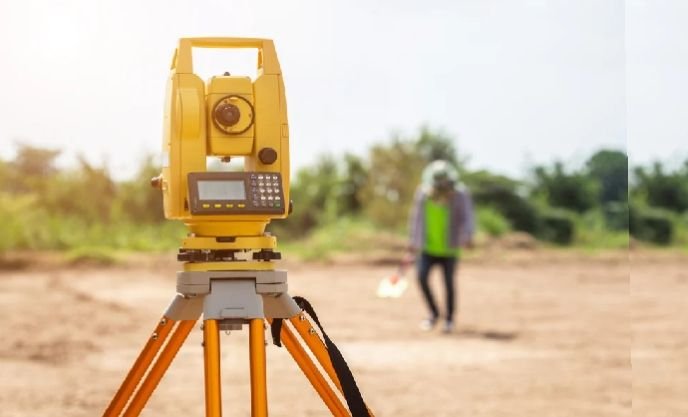
- Land Survey
- Remote Sensing
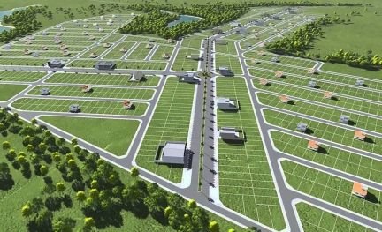
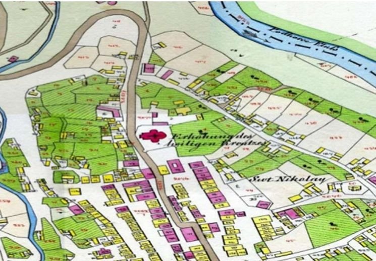
- Cadastral Mapping
- Land-based data creation
- Watershed management system
- GIS and Remote Sensing Training
Our Services
Explore our complete range of survey, GIS and remote-sensing services.