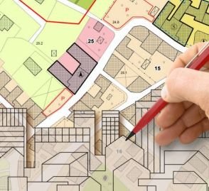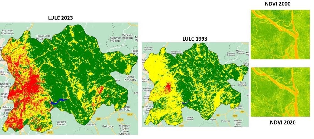
We specialise in Geographic Information System mapping — collecting, processing and analysing geographic data to provide insights that aid informed decision-making.
GIS services we offer
- GIS base map & parcel mapping
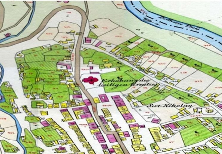
- Raster to vector conversion
- Spatial database management
- Cartographic data creation & thematic mapping
- Contouring & Digital Elevation Model
- Topographical and land use / land cover mapping
- GIS data conversion between formats
- Custom mapping solutions tailored to your needs
Photogrammetry
- Feature extraction / 3D digitisation
- DTM / DEM creation & contouring
- Ortho-rectification