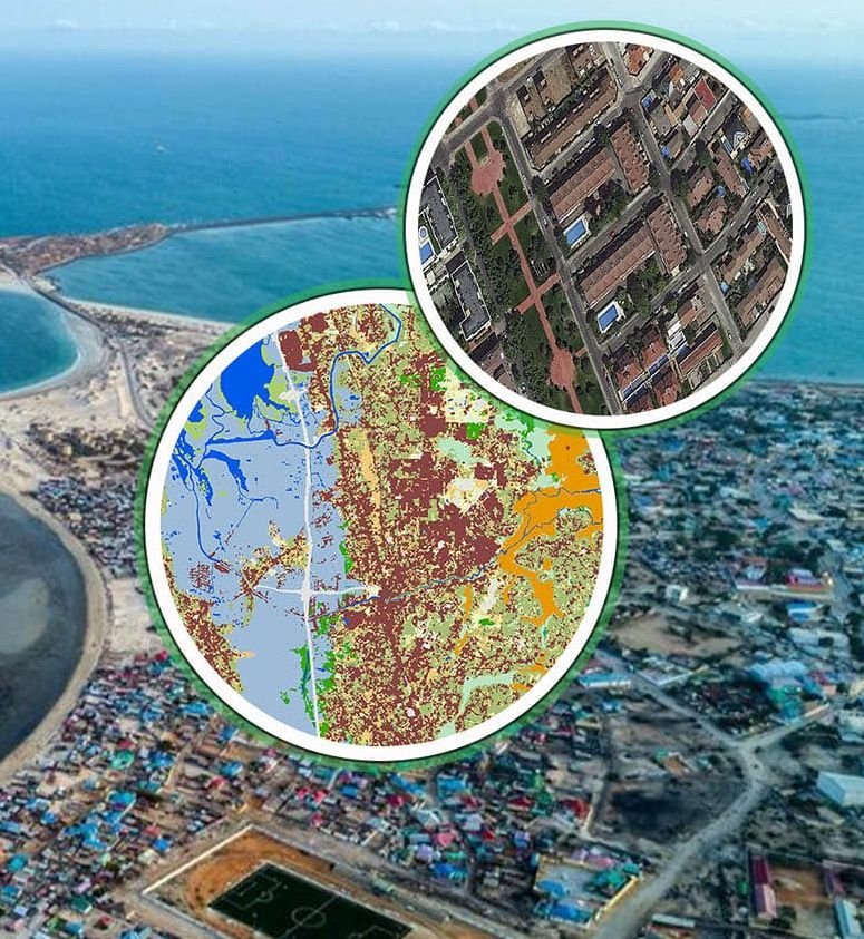
LiDAR (Light Detection and Ranging) is a remote sensing technology that uses laser pulses to measure distances and create high-resolution, three-dimensional maps of the Earth’s surface. By measuring the return time of each pulse, LiDAR accurately captures topography, vegetation and built structures.
LiDAR can penetrate tree canopies, revealing ground features that are otherwise difficult to access. The resulting point clouds are processed into Digital Elevation Models (DEMs) and other geospatial products.
Applications
- High-precision topographic mapping
- Forestry management
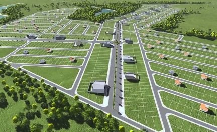
- Urban planning & 3D city models
- Corridor mapping for roads, rail and power lines
- Environmental monitoring