We provide excellent services in the field of feasibility survey, land surveying, Total Station survey, DGPS survey and drone survey. Our land survey services help you accurately assess and document the geographical features and boundaries of your land for planning, engineering and legal purposes.
Our scope of services
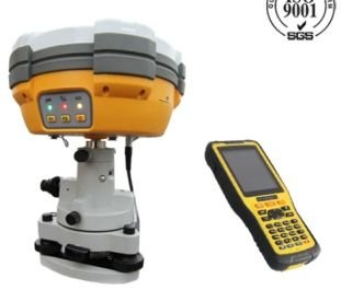
- GPS / DGPS Survey
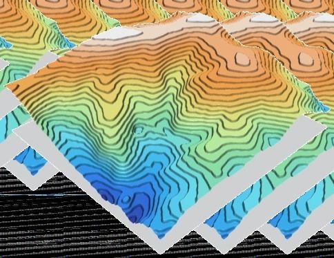
- Topographic Survey
- Engineering Survey
- Road, Railway & Pipe-route Survey
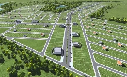
- Demarcation & Boundary Survey
- Grid & Contour Survey
- Cadastral Survey
- As-Built Survey – verifying construction matches design plans
Instruments we use
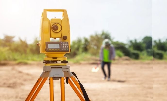
GPS, DGPS, Total Station, Auto Level, Rover and Drone (UAV) — calibrated and operated by experienced surveyors.