Drone surveys use unmanned aerial vehicles (UAVs) equipped with cameras and sensors to capture high-resolution images and data from the air — transforming agriculture, construction and urban planning.
The technology enables rapid, cost-effective surveying over large areas, producing detailed topographical maps and 3D models while reducing the time and manpower required by traditional methods. Drones also improve safety by minimising the need for personnel to enter hazardous or hard-to-reach locations.
Deliverables
- Orthomosaic imagery
- Digital Surface / Terrain Models (DSM / DTM)
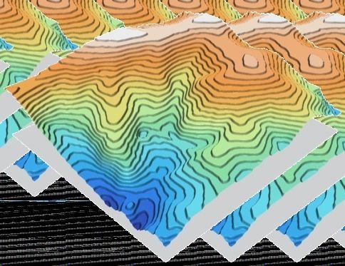
- Contours and topographic maps
- 3D models and point clouds
- Volume calculations and progress monitoring